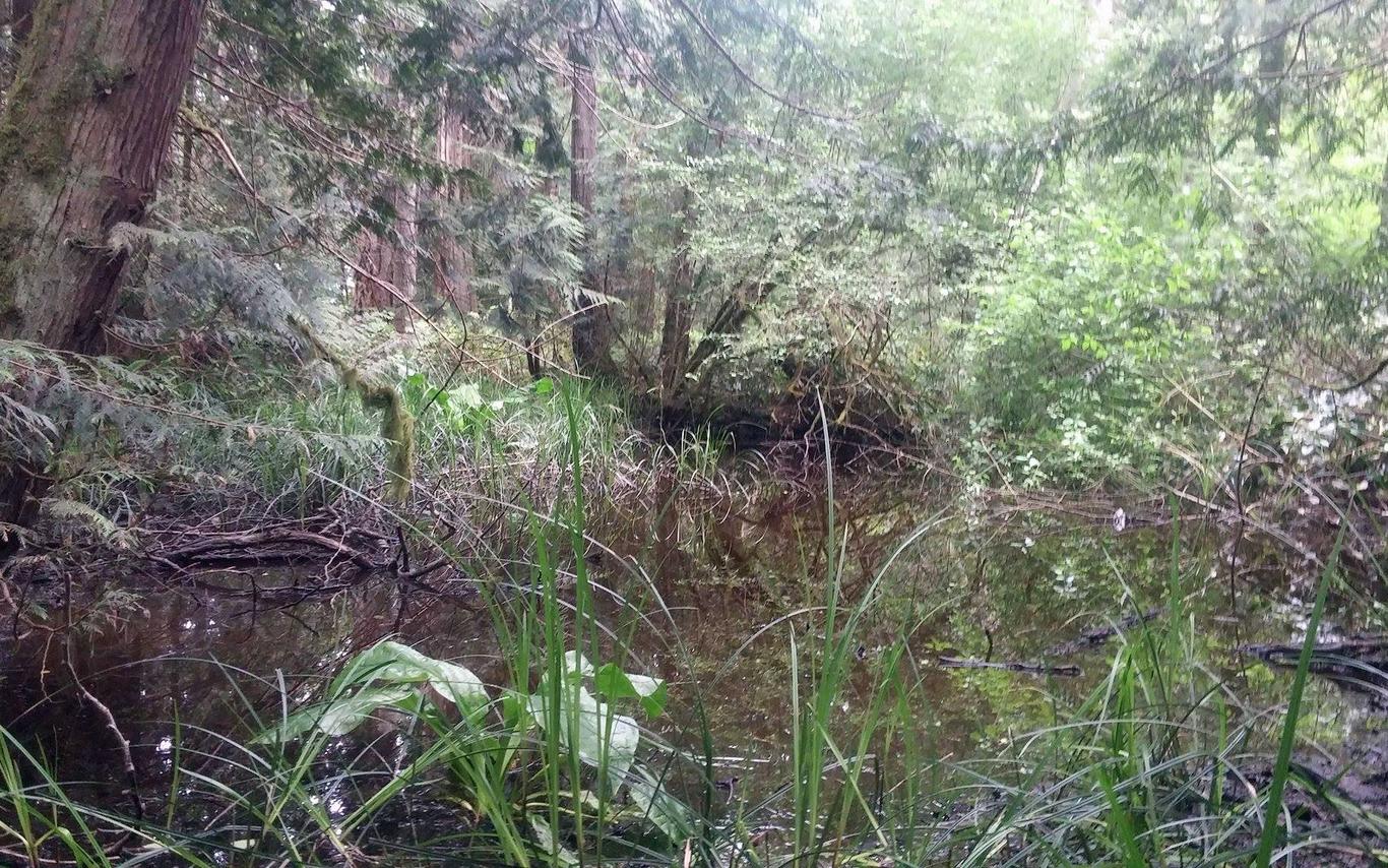
Today, June 9, 2017, Ashley, Kayla, Lauren, and I (Carson) set out to Milner Gardens to do our best impression of swamp monsters as we completed some wetland mapping. Starting at 8am we loaded our gear in the MABRRI truck and started northbound on the Island highway. After about a 40 minute drive with some excellent scenery along the way we arrived at our destination, the picturesque Milner Gardens. Pulling into the parking lot we were greeted by a very calm group of deer lounging about in flat spot of grass near the truck. After introducing ourselves to our new deer friends we began our work.
We started by setting up reference lines running parallel to the wetland. After that, we used those lines to set transect lines into the swamp area. My job was to map the swamp’s perimeter using a GPS while the others started identifying the features inside the transect zones we had created. The main data we collected was based on canopy cover identification, plant identification, water quality identification, and soil type identification. Before long, our time pretending to be swamp monsters was sadly over (until next time). We packed up our equipment, bid farewell to our deer friends still hanging out with the truck and drove back to the office, arriving at about 11:30am. Even though it was only for a few hours, getting to be a swamp monster for work is pretty cool and I look forward to doing it again.
