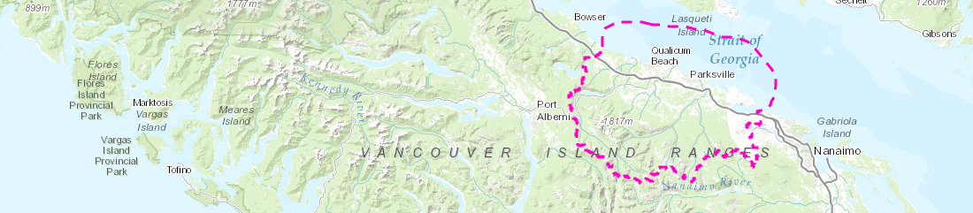
Follow the link below to view an interactive map of the Mount Arrowsmith Biosphere Region created and updated by MABRRI. Data layers displayed on the map come from a variety of sources, including the results of MABRRI projects in the region. For the full source list, please contact Jenica.Ng-Cornish@viu.ca
This map is meant to be used as a knowledge-sharing tool and to showcase the work of MABRRI student researchers. The map is not to be used for navigational purposes and MABRRI is not responsible for the accuracy of the information provided by external sources.