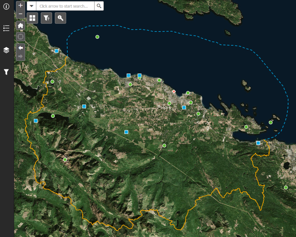
Details
The primary outcome of the 2019 Regional Research Conference will be the development of an online interactive map showcasing the location and basic details of all the research initiatives occurring within the Mount Arrowsmith Biosphere Region and surrounding areas.
This map will allow for those doing similar work to connect prior to applying for funding, or looking for resources, to partner together in a more sustainable manner, and to amplify their individual impacts thereby leading to more positive and tangible results.
All projects presented on during the breakout sessions will be included in a preliminary version of this interactive online map - this first version will be available for viewing and for providing feedback throughout the Regional Research Conference. In time, MABRRI hopes that more regional researchers will submit projects to be added to the map, thereby creating a dynamic database that is continually showcasing new research initiatives occurring in the area.