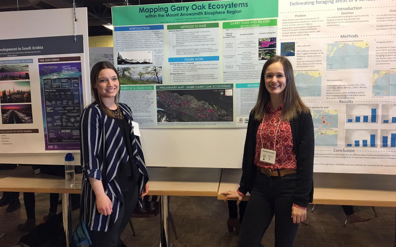
On the 12th of April, Roxanne Croxall and I got to present at the 2018 CREATE Conference at Vancouver Island University. This event provides students with an opportunity to showcase their research. We got to present and engage with the VIU community about the Garry Oak Ecosystem (GOE) mapping project, a collaboration between Dr. Hannah Wilson (VIU Geography) and MABRRI.
This project aligns with the province’s current conservation goals and provides a unique opportunity to generate a better understanding of the vulnerability of GOE’s. The goals include mapping the location and extent of all the GOE’s within the Mount Arrowsmith Biosphere Region, and determining which GOE locations within the Mount Arrowsmith Biosphere Region are vulnerable.
The poster we presented highlighted the beginning stages of the project. While Roxanne tackled the literature review and poster design, I got to start the mapping. This was a great opportunity for me to utilize skills gained in a Remote Sensing class I completed this term. Remote Sensing is the technique of using remotely sensed data (in this case, data acquired by satellite) and using it to learn more about the landscape. I then processed this data in a program called PCI Geomatica, which has a variety of neat applications. This project used the programs ‘supervised classification’ feature’. This involved me telling the computer what areas were certain land cover types (water, urban, Garry Oak Ecosystems, etc.), the computer assessing them, and then distributing each land cover over the entire area.
The Remote Sensing method is really useful for this project, as it allows areas that appear similar to known GOE’s on a satellite photo to be identified; however, classification is a trial and error process, and it took multiple tries to get a workable map. I’m really happy with how the map turned out in the end, even though I could work on it forever! I really enjoy using the software, especially in such a unique and relevant application.
The next part of the project will be going out to the physical locations as identified during the mapping process. Field work will include assigning the Garry Oak Ecosystem type, and looking at surrounding land covers to determine variability.
