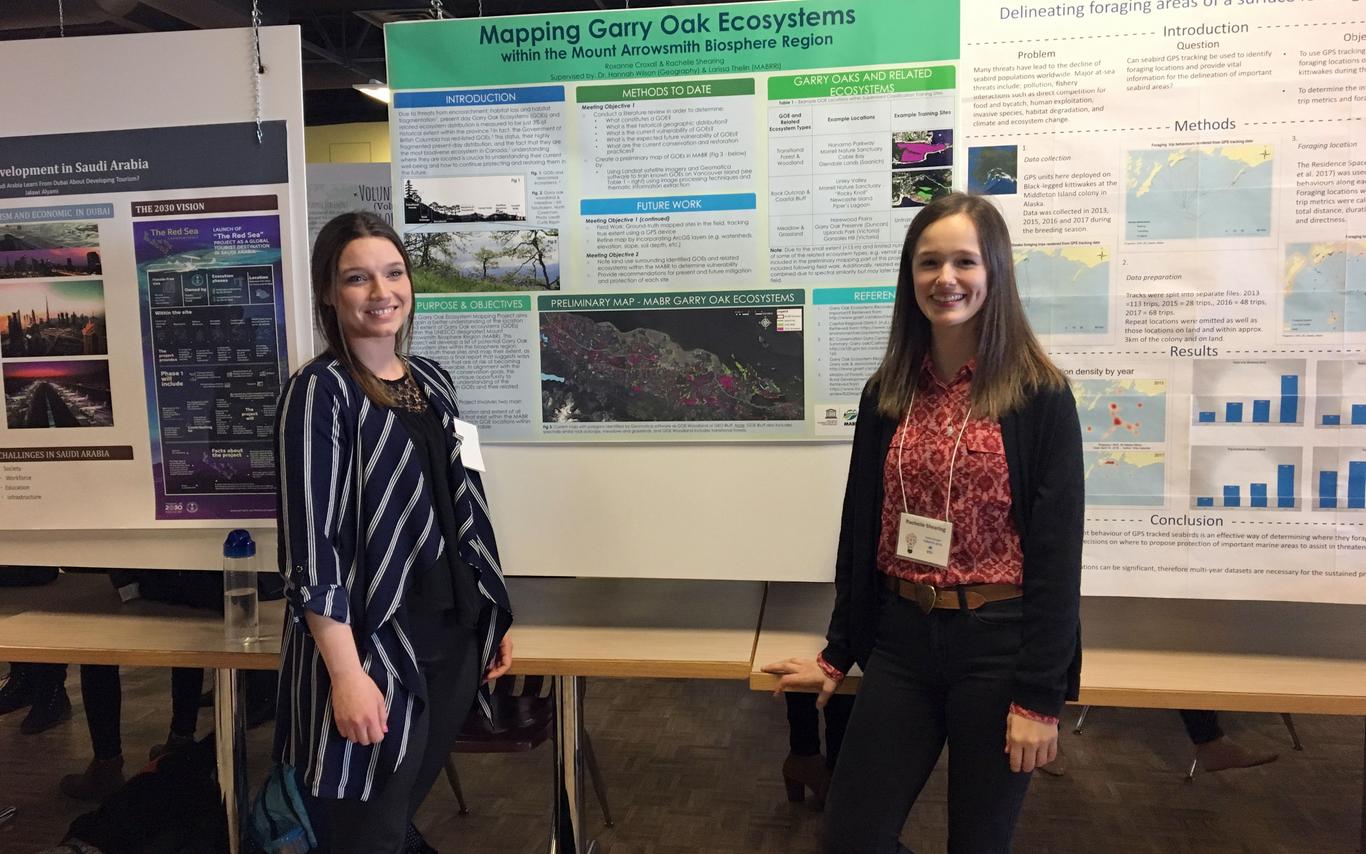
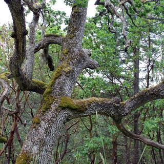
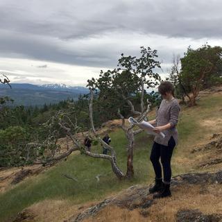
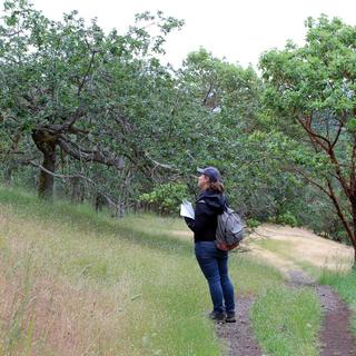
On Tuesday June 5th, MABRRI’s Assistant Research and Community Engagement Coordinator, Larissa Thelin, and I, Roxanne Croxall, a MABRRI Research Assistant, visited the first of many Garry Oak Ecosystem (GOE) field sites identified by our predictive mapping. This first field visit on Tuesday took place at Notch Hill in Nanoose Bay. With the help of experts, Dr. Caroline Jossefson (VIU Biology), and naturalist Kent Anders, the MABRRI team was able to begin ground-truthing our remotely sensed predictive mapping. We took with us in the field our predictive maps of Notch Hill with some highlighted field sites and began by first identifying Garry oaks and other indicative GOE flora species. Then once a GOE was identified, we began delineating, with a Garmin GPS, the extent of the individual ecosystems by walking around its perimeter. Caroline and Kent were extremely knowledgeable and able to help us identify numerous flora species at this field site, including many native and invasive species. Information such as the degree of introduced species invasion and surrounding land use were recorded and will later help in identifying ecosystem vulnerability. Information specific to the ecosystem, including but not limited to: site openness, apparent soil depth, dominant tree species, and proximity to the ocean, were also recorded in order to better predict the type of GOE present (e.g. meadow, coastal bluff, woodland, etc.). Throughout the course of the summer, we will try to visit as many of our predictively mapped field sites with the hopes of ground-truthing them all. This field work will help generate a more refined map of GOE distribution and allow us to gain a better understanding of individual GOE vulnerability within the MABR for future conservation purposes.
Connect with Us!
Phone or email us
Events and Info Sessions
View events
Ready to join us at VIU?
Start Your application


