
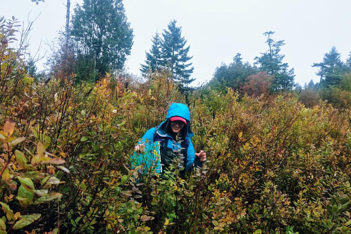
One of my favourite things about working at MABRRI is the opportunity to help with a variety of the different ongoing projects. On October 4th and 25th I joined Haley, Jess, and Alanna on trips to Gabriola Island for the Wetland Mapping project. The goal was to map some of the wetlands on the island to better understand where they are situated and how they are classified. Our first day of mapping was a very wet one, as we were greeted with heavy rain soon after we arrived at the site. Haley and Jess conquered one big wetland and Alanna and I another. Although we were wet and had some tough brush to push through, the wetlands were beautiful and a very rewarding sight. Just as Alanna and I reached an area of standing water in our wetland, the rain cleared for a few minutes, with just enough time to get our samples and enjoy the view.
Our second trip to Gabriola was a much sunnier day, and many of the sites were located on private properties, which we requested access to, so bush whacking was less of an issue. However, very high winds were blowing that day, causing pretty rough water for our ferry rides. Alanna and I had also just been talking about the danger of large trees falling over during windstorms when we heard a loud crackling sound, followed by the top half of a pretty big tree falling to the ground. Luckily there were no damages or injuries! As we finished up with mapping our wetland sites, we met up with Haley and Jess to finish off mapping the last site. We realized that if we didn’t want to wait an extra hour and a half, we had to hustle in order to catch the ferry back to Nanaimo. Still geared up in our chest waiters and boots, we were running along the road to quickly collect the last few GPS coordinates, definitely getting some strange looks from people driving by.
Rain or shine, spending the day working out in the field on Gabriola was such a treat and I’m so thankful to have been able to join the wetland team! We will be back out in the field to map wetlands within the Regional District of Nanaimo on November 14th and 15th.